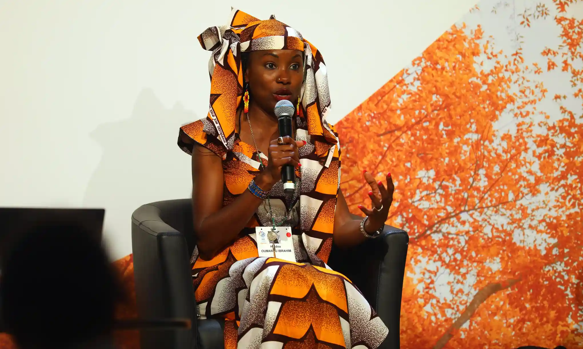
Mbororo environmental activist Hindou Oumarou Ibrahim has been working with communities in her native Chad to create maps, settling disputes regarding the sharing of natural resources. Ibrahim and representatives from EOS Data analytics used high-resolution satellite images to work alongside Indigenous leaders from more than twenty villages to map 1,728 square kilometers, collaboratively adding important markers like medicinal trees, sacred forests, rivers, settlements, roads, and more. Each community was given a laminated copy of the finished map, and Ibrahim is now working on a similar project in the Lake Chad area. Ibrahim hopes that her mapping projects will demonstrate the combined power of Indigenous knowledges and technology as a response to the climate crisis. Photo credit: IISB